
Area 03
Conservation and land management
We put what we document at the service of the decisions being made about the territory.
What we do
We identify the sites that concentrate the greatest ecological value and track the pressures that threaten them. We generate and systematise ecological information that can complement the material available for planning, protection and land management, in an area that is changing fast under real-estate, tourism and agricultural pressure.
Methods
Site characterisation
We establish the ecological value of each priority site from what the wildlife and flora areas record.
Mapping
We map land cover, priority sites and changes in land use over time.
Threat monitoring and mitigation
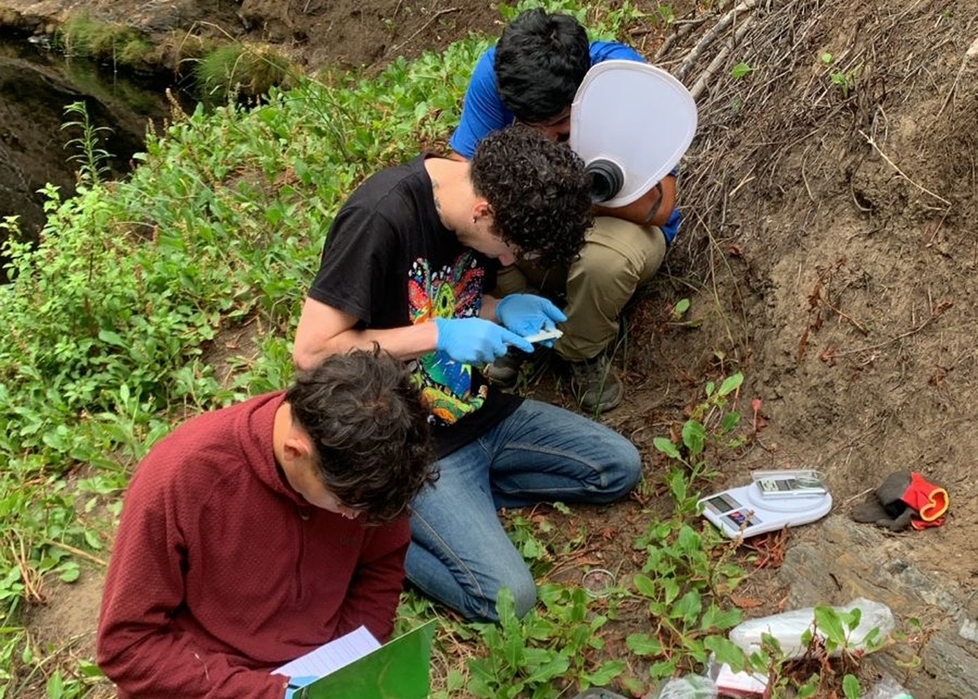
We document the pressures on each site with field evidence — infilling, trampling, extraction, fire, land-use change — and work with the people who live in and use the territory on measures that can reduce their impact.
Information for decision-making
We make background material and technical information available to municipalities, public agencies, organisations and communities when it can contribute to decisions on conservation and land use.
What it produces
Priority sites characterised, technical reports available to institutions and communities, and field evidence contributed to decision-making processes about the territory.
On video



Let's work together
If your institution works in conservation, let's talk.
We collaborate with universities, public agencies and organisations that need a presence on the ground and local knowledge of the territory.