
Get involved
There is more than one way to join in.
Not all of them require scientific training or permanent availability. Some can be done from your phone, on any walk along the beach.
Four ways to take part
They are ordered from least to greatest commitment. Each one has its own section below, in this same order.
- 01See how it works
Record what you see
An app on your phone · No time commitment · Anywhere in the territory
- 02See how it works
Lento por la Fauna (Slow down for wildlife)
A short form · Location of the record · A photo if you have one
- 03See how it works
Activities with your school or group
Arranged in advance · All levels · In the field or at your site
- 04See how it works
Field volunteering
Depends on the active project · Requires weekday availability · Minimum commitment per season
01 · Record what you see
We use citizen science tools such as iNaturalist and eBird to complement what is known about local biodiversity and to make it easier for the community to take part. Our current citizen science projects are concentrated mainly in different ecosystems of the Pichilemu area, and we expect to add new sites gradually as the corresponding monitoring programmes develop.
Our project on iNaturalist
Intertidal zone of the Pichilemu area
Through this project we collaboratively document the biodiversity of the Infiernillo intertidal zone in Pichilemu. Observations made by the community help broaden what is known about the species present in this ecosystem and build an open record that can grow over time.
The project in numbers
- 121
- Observations
- 80
- Species
- 15
- People observing
- 74
- People identifying
Project data from iNaturalist, updated as of September 2026.
Some recorded species
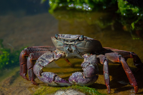
Swift-footed shore crab
Leptograpsus variegatus
Photo: Duban Espinoza · CC BY · iNaturalist
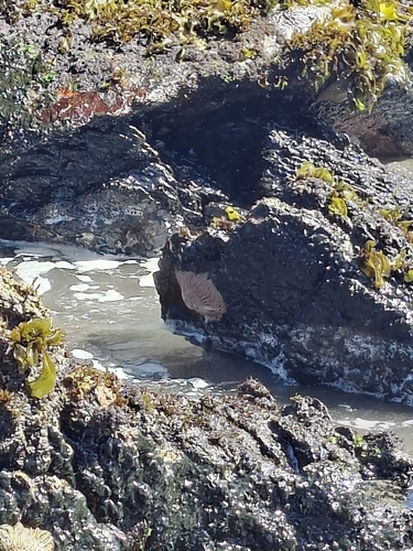
Sun star
Heliaster helianthus
Photo: Luis Véliz · CC BY · iNaturalist
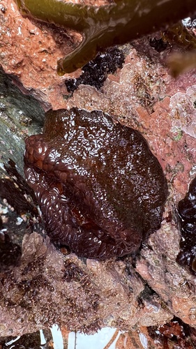
Sea anemone
Phymactis papillosa
Photo: Erasmo Macaya Horta · CC BY · iNaturalist
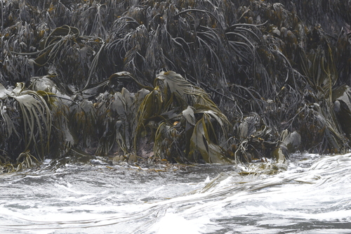
Southern bull kelp
Durvillaea incurvata
Photo: Duban Espinoza · CC BY · iNaturalist
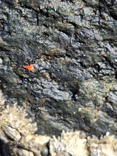
Red velvet mite
Neomolgus littoralis
Photo: Luis Véliz · CC BY · iNaturalist
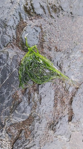
Sea lettuce
Ulva intestinalis
Photo: davaldes · CC BY-NC · iNaturalist
Observations made inside the project area that meet its criteria can be added to the Infiernillo intertidal record. Even when an observation is not part of that project, recording it on citizen science platforms still contributes to what is known about the biodiversity of Pichilemu and the O'Higgins Region.
Sites of interest and monitoring
- Infiernillo intertidal zone
- Active citizen science project on iNaturalist.
- Petrel wetland
- Observation activities and biodiversity study.
- Bajel wetland
- Biodiversity and flora surveys.
- El Ancho wetland
- Site of interest for monitoring and citizen science activities.
- Las Quiscas beach
- Site of interest for monitoring.
- Nilahue stream
- Site of interest for monitoring.
How it works
Install the app
iNaturalist, free, available for Android and iOS.
Take the photo
With location turned on at the moment you take it.
Upload it to iNaturalist
It is a collection project: observations that meet its criteria are added automatically, with no need to submit them by hand.
Be careful with sensitive locations. If you find a nest, a breeding site or a species whose location could be sensitive, avoid publishing exact coordinates and contact us directly so we can advise you on how to record the observation safely.
02 · Lento por la Fauna
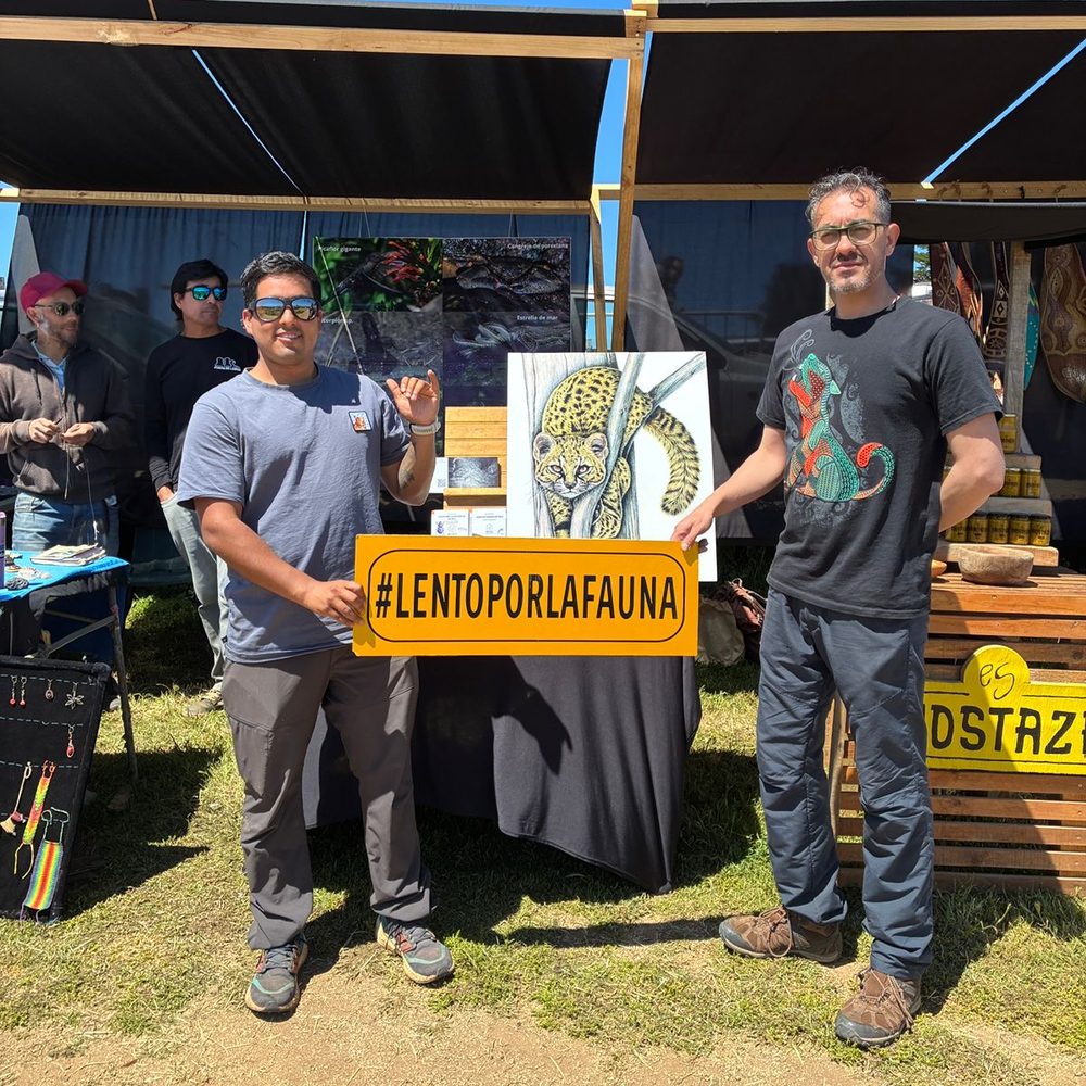
#LentoPorLaFauna
Help us identify the stretches of road where wildlife is being hit.
Through the Lento por la Fauna campaign we collect records of animals run over or injured on the territory's roads. This information helps us identify hotspots, understand this threat better and guide future prevention, awareness and mitigation work.
If you find affected wildlife, you can help by recording the place, the date and, if possible, a photograph.
A short form · Location of the record · A photo if you have one
The form opens in Google Forms.
03 · Activities with your school or group
Activities with your school or group
Species identification outings, talks and teaching materials for schools at every level, community groups and local organisations.
Activities are adapted to the educational level, the time available and the place where they happen. To arrange one, write to us telling us what kind of group it is, how many people and the dates you have in mind.
Arranged in advance · All levels · In the field or at your site
04 · Field volunteering
Field volunteering
Fieldwork requires continuity and protocol. We take volunteers according to the needs of each project, not on a permanent basis.
We do not keep a permanent open call: places depend on the project under way. If you are interested, write to us and we will let you know when a campaign opens that fits your availability.
Depends on the active project · Requires weekday availability · Minimum commitment per season
Places: to be confirmed with the team.
Reports and official channels
Fundación Pichilemu Wild does not replace the public agencies responsible for rescue, enforcement or receiving complaints. The reports we receive help us identify threats and generate information about the territory; for situations that require intervention, we recommend also using the relevant official channels.
Records of wildlife run over or injured on roads go to theLento por la Fauna form, and biodiversity observations toiNaturalist.
Who to contact
- Injured, seized or at-risk terrestrial wildlife
- SAG — Wildlife (Chile)
- Stranded seabirds or marine mammals
- SERNAPESCA
- Spills, works or irregular environmental interventions
- Environmental Superintendency (SMA)
- Forest fires
- CONAF — 130
- Keeping wildlife, illegal hunting or extraction
- SAG and Carabineros
If you also want the record to be part of our monitoring of the territory, write to us with the approximate place and the date.
Write to us
If any of this interests you, tell us.
We reply according to the team's real capacity — we would rather tell you that than promise something we cannot deliver.